NE Calgary Excavation Around the Airport & Beyond
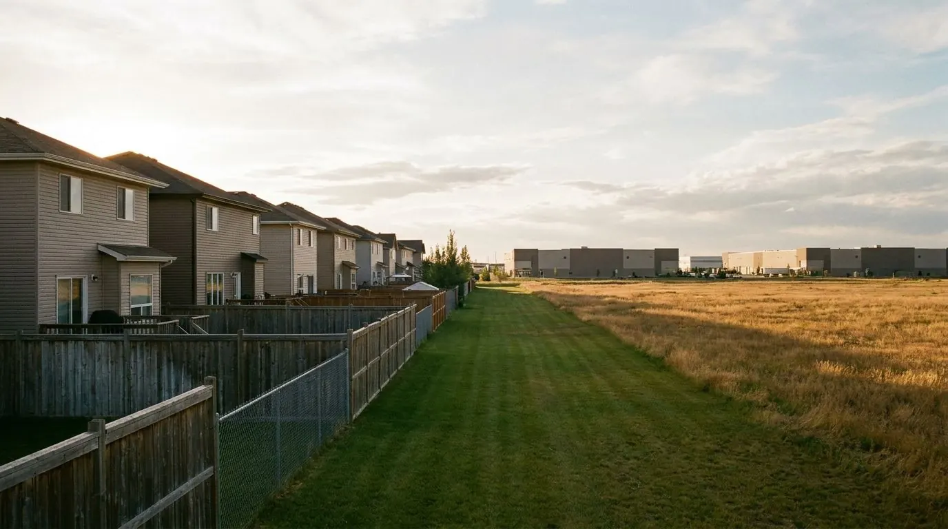
Northeast Calgary is where the airport and the industrial districts around it meet a band of 1960s–70s suburbs, with newer communities filling in toward the city's edge. The work here leans commercial: building pads, parking lots, utility trenches and daylighting in McCall, Sunridge and the Stoney districts. The rest is residential, from infill in Bridgeland/Riverside and Renfrew to service lines and new basements in Saddle Ridge and Cityscape.
At a Glance
- Municipality
- City of Calgary
- From our downtown office
- North and east of downtown
- Typical servicing
- City water, sanitary and storm mains
- Postal prefixes
- T2E, T2A, T1Y, T3J, T3N
Lots, Homes and Sites in Northeast Calgary
The City classes Calgary International Airport itself as an industrial community, and the NE's other industrial communities are McCall, Sunridge, Deerfoot Business Centre, Horizon, South Airways, North Airways, Pegasus, Westwinds, Skyline East, Skyline West, Stoney 1, Stoney 2, Stoney 3, Stoney 4, Saddle Ridge Industrial, Greenview Industrial Park, Stonegate Landing and Franklin, which is about 93% NE. Mayland and Meridian split their addresses between NE and SE. On these sites excavation is usually building up rather than tearing out: unsuitable soil sub-excavated from under a future building, engineered fill placed in lifts, and granular sub-base and base course shaped to the civil drawings so a parking lot drains to its catch basins.
Bridgeland/Riverside and Renfrew are the NE's inner-city communities. Crescent Heights, about 60% NE, and Tuxedo Park, about 53% NE, split their addresses with NW, so the address on the title decides how a locate request and permit are filed. Winston Heights/Mountview is a 1950s-era community, and Greenview, Mayland Heights, Vista Heights, Marlborough, Marlborough Park, Rundle, Pineridge, Whitehorn and Temple are largely 1960s–70s. That mix brings infill demolition and basements closer to the core, and further out, sewer and water service replacement from the property line to the house, garage slabs and power trenches to garages and secondary suites.
Falconridge, Castleridge, Martindale and Harvest Hills are 1980s–90s communities. Saddle Ridge, Taradale, Coventry Hills, Country Hills Village, Redstone, Skyview Ranch, Cornerstone, Coral Springs, Monterey Park, Abbeydale, Cityscape, Keystone Hills, Homestead and Lewisburg date from the 2000s or are still building out. On these streets the residential digging is mostly for houses under construction: the basement hole, backfill once the walls cure, and service trenches set to City cover depths. The NE is the quadrant facing the City of Chestermere and Rocky View County's growth hamlet of Conrich, each with its own permitting authority.
Neighbourhood Notes
Bridgeland/Riverside
One of the NE's two inner-city communities, and it fronts the Bow River. Infill basements here combine tight-lot excavation with a flood-map check for the parcel before the dig is staked.
Renfrew & Winston Heights/Mountview
An inner-city community and a 1950s-era one by the City's structure data. Demolition, basement digs for replacement homes and garage slab removal are the typical jobs.
Crescent Heights & Tuxedo Park
Split-address communities, about 60% and 53% NE. We file locates and plan permits from the address on the title rather than assuming the quadrant from the community name.
Marlborough, Rundle & Pineridge
Largely 1960s–70s suburbs. Sewer and water service replacement from the property line, foundation drainage and power trenches to garages and suites are the common requests.
McCall & Sunridge
Industrial communities by the City's classification. Work runs from sub-excavation and engineered fill to granular base, with utilities daylit by hydrovac before trenching.
The Airways, Pegasus & Stoney districts
South Airways, North Airways, Pegasus and Stoney 1 to 4 are industrial communities around the airport. Pads, parking lot subgrades and service trenches follow the civil drawings and the general contractor's schedule.
Mayland & Meridian
Industrial communities whose addresses split between NE and SE. Getting the quadrant right on the locate request and permit is the first step before any pad or trench work.
Saddle Ridge, Skyview Ranch & Cityscape
The newest edge of the NE. Water and sewer services here sit at City cover depths, so a residential trench is usually a boxed, protected one, alongside basements and backfill on lots still under construction.
Permits and Locates in Northeast Calgary
Authority having jurisdiction: City of Calgary
The City of Calgary is the permitting authority across the NE, and for large commercial sites its Erosion and Sediment Control Code of Practice, under the Stormwater Bylaw, sets the paperwork by size. Sites greater than 2.0 hectares need ESC Plan Approval, sites of 0.4 to 2.0 hectares need an ESC Plan Notice to Proceed, and sites under 0.4 hectare follow ESC Good Housekeeping; plans are prepared by a Qualified Designer, and sites larger than 0.4 ha need a pre-construction meeting request before work starts. Service connections in a City right-of-way are installed by a utility indemnified contractor. Locates need at least three full working days' notice, and five for a Large Project Ticket; plan for longer in busy season. Utility Safety Partners notes that utility operators do not charge to mark their own lines, but most do charge for locating customer-owned ones, so private lines across a commercial yard are budgeted for a private locator.
The Excavation Work Northeast Calgary Calls For Most
Commercial Pad Prep & Parking Lot Excavation
Building pads and parking lot subgrades built in tested lifts to civil drawings.
Subgrade Compaction & Proof Rolling
Lift-by-lift compaction, loaded-truck proof rolling and soft-spot repair.
Hydrovac & Non-Destructive Daylighting
Non-destructive digging to expose buried lines before any machine gets close.
Deep Utility Trenching (Water, Sewer & Storm)
Shored, bedded trenches for water, sanitary and storm service lines.
Shallow Utility Trenching
Narrow trenches for gas, electrical conduit, fibre and suite power feeds.
Mass Earthworks & Site Grading
Cut and fill, topsoil stripping and laser or GNSS grading to design elevations.
Close to Northeast Calgary
The core, Beltline, Eau Claire and Downtown East Village: tight sites under City streets.
Bow River infills in Hillhurst and Sunnyside, Mount Pleasant, and the northwest suburbs.
A lakeside city east of Calgary whose Quick Trench program vets excavation contractors.
A fast-growing city north of Calgary on Highway 2: new builds, garages and drainage.
Excavation in Northeast Calgary: Questions
What does proof rolling involve on an NE Calgary building pad?
How is a water or sewer service trench backfilled on an NE site?
Do you work east of NE Calgary, in Chestermere or Conrich?
Digging in Northeast Calgary?
Call or send the details. Aspen Excavating works from downtown Calgary, and we will look at the site and the access before we price it.